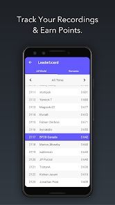
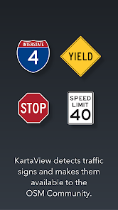
KartaView is a free and open platform for street level imagery. Anyone can contribute images with a smartphone and the open source apps. After upload, KartaView will detect salient features from the uploaded images such as signs, lanes and road curvature. Using both new and familiar tools, anyone can then use these and other features gleaned from the images to improve OpenStreetMap.
Updated on
Apr 5, 2024
Tools
Data safety
arrow_forward
Safety starts with understanding how developers collect and share your data. Data privacy and security practices may vary based on your use, region, and age. The developer provided this information and may update it over time.