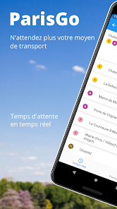
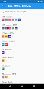
ParisGo allows you to check the timetable for the public transportation of the city of Paris: - “Metro”: Subway – Underground - Tramway - Bus - “Noctilien”: night buses - “RER (RATP & SNCF)”: city & suburds rail network - “Transiliens”: district rail network - “Velib”: bike sharing of Paris city
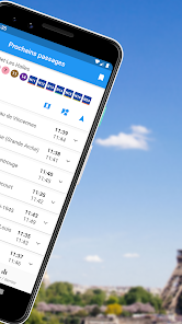
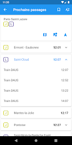
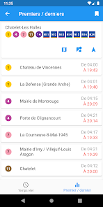
Find quickly the next departure for yours station.
One map to rule them all: On the same map, find the closest station of every public transport
Offline mode for the commuters: Underground and local rail network are available offline
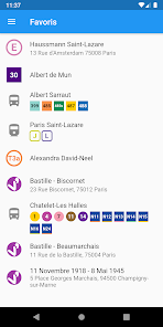
Save time with the favorites: Mark your favorite station for quick access
Stop riding in circles to find a Velib terminal: Check in real time the terminal’s information (availability or empty stands)
Updated on
Oct 27, 2023
Maps & Navigation
Data safety
arrow_forward
Safety starts with understanding how developers collect and share your data. Data privacy and security practices may vary based on your use, region, and age. The developer provided this information and may update it over time.
This app may share these data types with third parties
Personal info, App activity and 2 others
This app may collect these data types
Personal info, App activity and 2 others
Data is encrypted in transit
See details
'> -->
Not Found
We're sorry, the requested URL was not found on this server.