

i-Topo

5K+
Downloads

Everyone
info


About this app
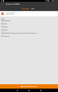
On construction sites, everyone takes pictures (or almost). But these pictures are difficult to use because not geotagged, heavy download or transmit and especially they lose their value because they are lost in the maze of computer servers. With i-TOPO , you will have a simple tool and ergonomic to collect your information, classify and share.
In addition, you can access the database i-TOPO community that will allow you to understand your sites more secure by having additional information to DT and TCID .
i-TOPO offers a fast and efficient system .
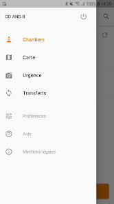
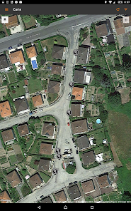
The principle is to constantly on his smartphone or tablet, an application for supplying a construction site in progress or to check the database. This application is based on two features built into mobile tools Photo and tracking geolocation .
Using these two functions and specific programming, i-TOPO to reference and share:
• points of interest (in the environment);
• heritage elements
• new or old networks (unknown or unfamiliar).
With little manipulation, i-TOPO used to collect information, call the store and share if you want .
i-TOPO allows Simplicity and speed and cost , enjoy new works reference the old networks and share resources without the site will fall behind (particularly in urban areas).
In addition, you can access the database i-TOPO community that will allow you to understand your sites more secure by having additional information to DT and TCID .
i-TOPO offers a fast and efficient system .
The principle is to constantly on his smartphone or tablet, an application for supplying a construction site in progress or to check the database. This application is based on two features built into mobile tools Photo and tracking geolocation .
Using these two functions and specific programming, i-TOPO to reference and share:
• points of interest (in the environment);
• heritage elements
• new or old networks (unknown or unfamiliar).
With little manipulation, i-TOPO used to collect information, call the store and share if you want .
i-TOPO allows Simplicity and speed and cost , enjoy new works reference the old networks and share resources without the site will fall behind (particularly in urban areas).
Updated on
Safety starts with understanding how developers collect and share your data. Data privacy and security practices may vary based on your use, region and age The developer provided this information and may update it over time.

No data shared with third parties
Learn more about how developers declare sharing

This app may collect these data types
Location, Personal info and 3 others

Data is encrypted in transit

You can request that data be deleted
What's new
Correction de bug