
100+
Downloads

Everyone
info
About this app
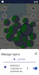
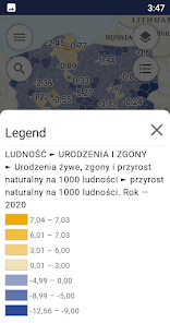
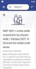
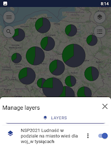
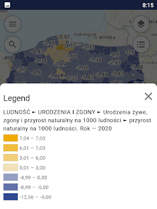
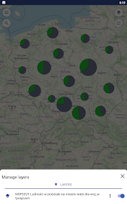
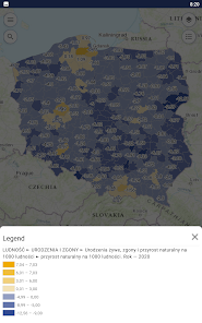
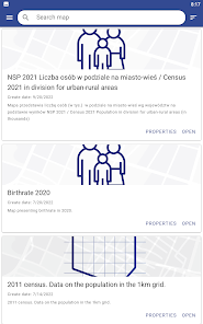
The Geostatistics Portal mobile app was created in the framework of the “Spatial Statistical Data in the Information System of the State (PDS)” project”. The app gives access to ready-made map presentations from the Geostatistics Portal catalogue and offers users two cartographic presentation methods for thematic data from the Local Data Bank: choropleth maps and diagram maps. Users can add external map layers as well as turn on/off the visibility of those layers and their legends. The app also displays popular statistics for a chosen location.
Updated on
Safety starts with understanding how developers collect and share your data. Data privacy and security practices may vary based on your use, region, and age. The developer provided this information and may update it over time.

No data shared with third parties
Learn more about how developers declare sharing

This app may collect these data types
Personal info

Data is encrypted in transit

Data can’t be deleted