Trekking Maps
10+
Downloads

Everyone
info

About this app
3D SUPPORT
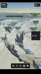
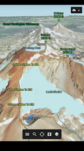
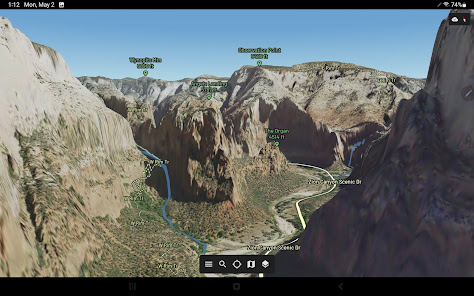
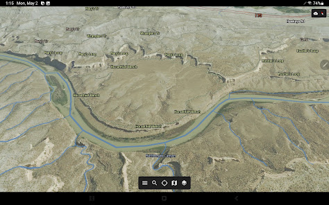
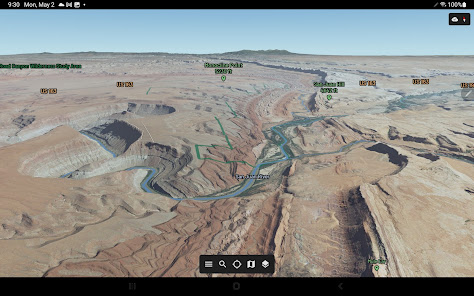
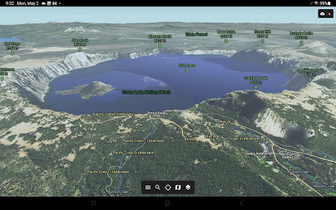
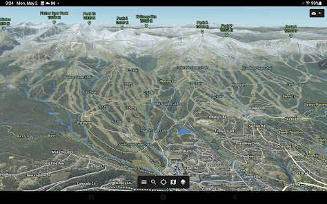
• High Performance 3D Maps
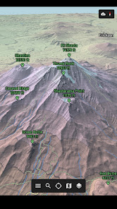
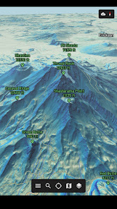
• Worldwide 3D Terrain
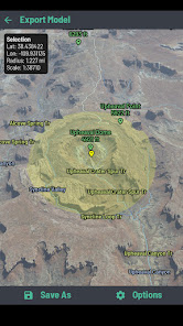
• 3D Printing Support
• Integrated Flight Simulator
• Embed 3D Models in Websites
MAP STYLES
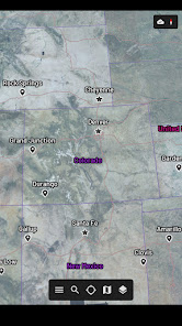
• Aerial Imagery (Lower 48 States)
• Relief Shading
• Slope Angle Shading
• Seasonal/Day/Night Shading
LOCATION
• My Location
• My View Peak Finder
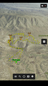
• GPS Tracks
INFORMATION
• Offline Support
• Sunrise/Sunset Times
• Sundial to Reposition the Sun
• Measure Distance/Elevation/Altitude
• High Performance 3D Maps
• Worldwide 3D Terrain
• 3D Printing Support
• Integrated Flight Simulator
• Embed 3D Models in Websites
MAP STYLES
• Aerial Imagery (Lower 48 States)
• Relief Shading
• Slope Angle Shading
• Seasonal/Day/Night Shading
LOCATION
• My Location
• My View Peak Finder
• GPS Tracks
INFORMATION
• Offline Support
• Sunrise/Sunset Times
• Sundial to Reposition the Sun
• Measure Distance/Elevation/Altitude
Updated on
Safety starts with understanding how developers collect and share your data. Data privacy and security practices may vary based on your use, region and age The developer provided this information and may update it over time.

No data shared with third parties
Learn more about how developers declare sharing

No data collected
Learn more about how developers declare collection

Data is encrypted in transit

Data can’t be deleted
What's new
1/24/2024
• Added boot icon
• Fixed a slope angle calculation
9/16/2023
• Added support for Android 13
• Added Aerial UT 2021 Map Style
• Updated OpenStreetMap Database
• Fixed a network hang bug
11/17/2022
• Added track grade to track details
• Added an Elevation Profile window under track details
• Added fullscreen option under settings
• Optimized graphics rendering performance


