
Rajdharaa Survey
100K+
Downloads

Everyone
info

About this app
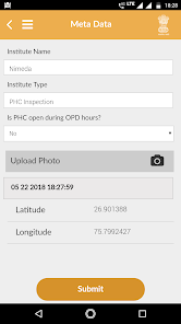
A state-wide unified gateway for spatial decision support system. To establish an effective and integrated GIS Infrastructure of the State to enable good governance, sustainable development and citizen empowerment and to maintain a State-wide standardized GIS Assets.
Help:-
https://gis.rajasthan.gov.in/inframobile/helpdoc/rajdharaa_do_dont.pdf
Help:-
https://gis.rajasthan.gov.in/inframobile/helpdoc/rajdharaa_do_dont.pdf
Updated on
Safety starts with understanding how developers collect and share your data. Data privacy and security practices may vary based on your use, region, and age. The developer provided this information and may update it over time.

No data shared with third parties
Learn more about how developers declare sharing

No data collected
Learn more about how developers declare collection

Data isn’t encrypted
What's new
Library Updation


