
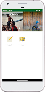
Wilkerstat BPS

500K+
Downloads

Everyone
info
About this app
Safety starts with understanding how developers collect and share your data. Data privacy and security practices may vary based on your use, region, and age. The developer provided this information and may update it over time.

No data shared with third parties
Learn more about how developers declare sharing

This app may collect these data types
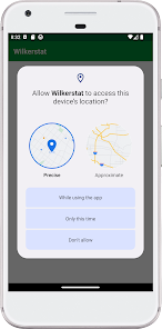
Location, Personal info, and Photos and videos

Data isn’t encrypted

You can request that data be deleted
What’s new
Bug fixes and performance improvements
App support
About the developer
Achmad Kurnianto
wilkerstat@bps.go.id
RT/RW 004/001 Dsn Sentanan Ds Ngrombot Kec Patianrowo
Nganjuk
Jawa Timur 64391
Indonesia
undefined