
農作物天然災害即時回報(試驗用)
Government
info
5K+
Downloads

Everyone
info


About this app
This app is used by relevant personnel of the Ministry of Agriculture and local governments for disaster investigation. If you have any questions or suggestions about use, please feel free to write to us. (Contact information: zora@emct.tw)
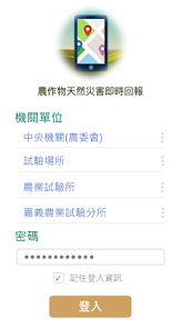
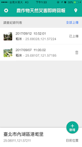
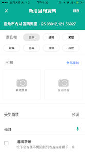
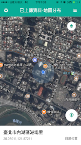
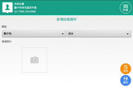
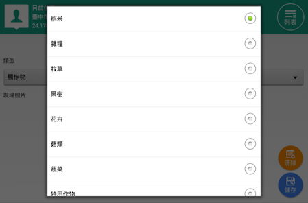
The main function is to allow farmers or the public to immediately send back photos of local disasters after natural disasters (referring to disasters caused by typhoons, foehn, tornadoes, heavy rains, hailstorms, cold snaps, droughts or earthquakes). The main purpose of photos In order to assist the research unit (agricultural laboratory) to cooperate with post-disaster satellite images to make judgments, the actual relief of agricultural natural disasters still needs to be handled in accordance with the current administrative regulations.
The main function is to allow farmers or the public to immediately send back photos of local disasters after natural disasters (referring to disasters caused by typhoons, foehn, tornadoes, heavy rains, hailstorms, cold snaps, droughts or earthquakes). The main purpose of photos In order to assist the research unit (agricultural laboratory) to cooperate with post-disaster satellite images to make judgments, the actual relief of agricultural natural disasters still needs to be handled in accordance with the current administrative regulations.
Updated on
Safety starts with understanding how developers collect and share your data. Data privacy and security practices may vary based on your use, region, and age. The developer provided this information and may update it over time.


What's new
v1.5.8
- 調整APP API升級
- 調整APP API升級
App support
About the developer
宸訊科技股份有限公司
emct.tw@gmail.com
114065台湾台北市內湖區
新湖三路125號3樓
+886 921 225 565