AGP GEOCOLECTOR
100+
Downloads

Everyone
info


About this app
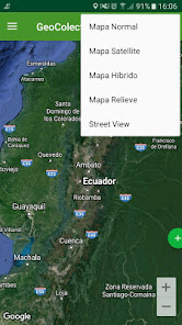
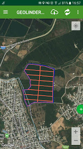
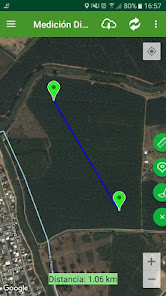
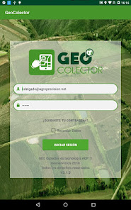
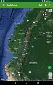
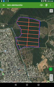
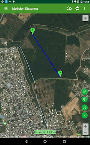
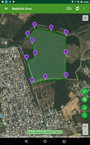
Geocolector collects and stores GPS field observations as changes in boundaries or lots, changes in land use, crop pests and diseases, soil and other samples, the sistem to capture pictures with your camera phone coordinates. It has tools to narrow your land additions quantify surface and perimeters.
Updated on
Safety starts with understanding how developers collect and share your data. Data privacy and security practices may vary based on your use, region and age The developer provided this information and may update it over time.

No data shared with third parties
Learn more about how developers declare sharing

This app may collect these data types
Personal info

Data is encrypted in transit

Data can’t be deleted
What's new
Mejoras y corrección de errores.
App support
phone
Phone number
+593986490601


