
RTK camera - 3D geotag scanner
In-app purchases


Everyone
info
5K+
Downloads

Everyone
Learn more


About this app
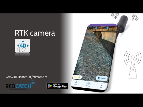
RTK camera is an All-In-One NTRIP and Camera App, to take centimeter accurate geotagged photos and logging the path you've walked.
There are 3 modes of taking photos:
- automatic 3D tracker (for photogrammetry)
- time laps
- single shoot
You can connect ANY external GNSS chip device using (normal) Bluetooth or USB.
Highlights:
- It's save an easy to use.
- No Cloud. Data is yours!
- NO Developer Mode and NO Mock Location required
- FREE Logging of GNSS track in NMEA style with GNGGA, GNRMC and GNGST message
- NTRIP client integrated
- Full-resolution, geotagged photos (subscription required)
- Coordinates are directly written into EXIF/XMP
- USB connection (serial usb is not recommended)
- Bluetooth connections supported (no Bluetooth LE support!)
There are 3 modes of taking photos:
- automatic 3D tracker (for photogrammetry)
- time laps
- single shoot
You can connect ANY external GNSS chip device using (normal) Bluetooth or USB.
Highlights:
- It's save an easy to use.
- No Cloud. Data is yours!
- NO Developer Mode and NO Mock Location required
- FREE Logging of GNSS track in NMEA style with GNGGA, GNRMC and GNGST message
- NTRIP client integrated
- Full-resolution, geotagged photos (subscription required)
- Coordinates are directly written into EXIF/XMP
- USB connection (serial usb is not recommended)
- Bluetooth connections supported (no Bluetooth LE support!)
accurately geotagged full-res photos and 3d photogrammetry scanner
Updated on
Safety starts with understanding how developers collect and share your data. Data privacy and security practices may vary based on your use, region, and age. The developer provided this information and may update it over time.
- No data shared with third partiesLearn more about how developers declare sharing
- No data collectedLearn more about how developers declare collection


What’s new
Added enhanced Serial USB support
Added console view
Ensured Android 16 KB page size compatibility
Bug fixes and minor codebase improvements
Added console view
Ensured Android 16 KB page size compatibility
Bug fixes and minor codebase improvements
Everyone
Learn moreApp support
phone
Phone number
+436607305038
About the developer
REDcatch GmbH
support@redcatch.at
Tschaffinis-Umgebung 14/2
6166 Fulpmes
Austria
+43 660 7305038