
Sabretooth

Everyone
info
50+
Downloads

Everyone
Learn more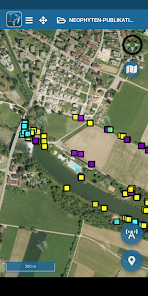


About this app
Sabretooth is a sophisticated, simple, powerful, modular GIS framework for mobile and stationary use.
* NOTE *: This is the mobile app for Sabretooth. In order to use them, a Sabretooth infrastructure must be available. Please continue reading below for more detailed information or at https://sabretooth.ch/
-------------
We ask you to report bugs via info@kadenpartner.ch instead of giving a bad rating.
-------------
With Sabretooth you can:
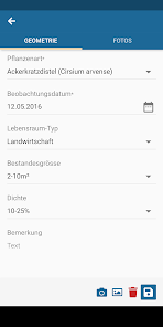
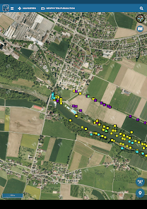
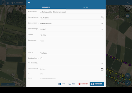
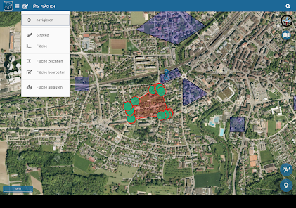
* Easily and quickly create data tables with attributes and geometries (points, lines and surfaces)
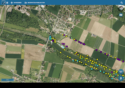
* capture data directly online with the mobile device
* Create a WMS (Web Map Service) from the defined data tables and integrate it into your own GIS applications.
* Enter and edit data offline in the field Data
This is the mobile app for Sabretooth. It can NOT be used without a sabretooth backend. Further information and demo systems can be found at https://demo.sabretooth.ch/
The aim of the Sabretooth app and infrastructure is to create simple geo-applications without GIS knowledge in a short time and already begin with the collection / editing of geographically linked data.
Key features:
* Application stack consisting of:
* mobile apps for Android and iOS (frontend)
* Web application for managing and creating geo-topics, data and users
* PostGIS database based on PostgreSQL
* Mapserver for the WMS release
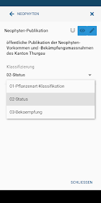
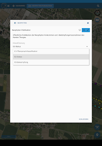
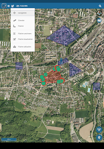
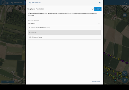
* Define geometry topics with their own attribute fields / types
* Support of point, line and surface geometries
* Support of multiple sub-records per geometry
* Definition of projects with several topics
* Create Mapserver Mapfiles / WMS services from templates
* WMS styling by classifying the data using attribute columns
* Sophisticated authorization concept
* Plugin infrastructure for implementing custom hooks / functionalities
* based on independent open source components and frameworks
* User data is stored in specially created tables and can be edited / read using database tools
* REST / JSON backend
* App is offline usable
* NOTE *: This is the mobile app for Sabretooth. In order to use them, a Sabretooth infrastructure must be available. Please continue reading below for more detailed information or at https://sabretooth.ch/
-------------
We ask you to report bugs via info@kadenpartner.ch instead of giving a bad rating.
-------------
With Sabretooth you can:
* Easily and quickly create data tables with attributes and geometries (points, lines and surfaces)
* capture data directly online with the mobile device
* Create a WMS (Web Map Service) from the defined data tables and integrate it into your own GIS applications.
* Enter and edit data offline in the field Data
This is the mobile app for Sabretooth. It can NOT be used without a sabretooth backend. Further information and demo systems can be found at https://demo.sabretooth.ch/
The aim of the Sabretooth app and infrastructure is to create simple geo-applications without GIS knowledge in a short time and already begin with the collection / editing of geographically linked data.
Key features:
* Application stack consisting of:
* mobile apps for Android and iOS (frontend)
* Web application for managing and creating geo-topics, data and users
* PostGIS database based on PostgreSQL
* Mapserver for the WMS release
* Define geometry topics with their own attribute fields / types
* Support of point, line and surface geometries
* Support of multiple sub-records per geometry
* Definition of projects with several topics
* Create Mapserver Mapfiles / WMS services from templates
* WMS styling by classifying the data using attribute columns
* Sophisticated authorization concept
* Plugin infrastructure for implementing custom hooks / functionalities
* based on independent open source components and frameworks
* User data is stored in specially created tables and can be edited / read using database tools
* REST / JSON backend
* App is offline usable
Updated on
Safety starts with understanding how developers collect and share your data. Data privacy and security practices may vary based on your use, region, and age. The developer provided this information and may update it over time.

No data shared with third parties
Learn more about how developers declare sharing

This app may collect these data types
Personal info, Photos and videos and 3 others

Data is encrypted in transit

Data can’t be deleted
What’s new
* themenspezifische WMS können nun auch von lediglich eingeblendeten Themen angezeigt werden.
* Benutzer Tabelle kann nun nach „erstellt am“ oder „bearbeitet am“ sortiert werden.
* Links zu E-Mail-Adressen öffnen sich nun korrekt.
* Tippfehler, bei Warnung von leeren Feldern.
* Deaktivierte Themen werden nun korrekt ausgeblendet.
* Fehlerbehebungen beim Filtern.
* verschiedene weitere kleine bug fixes
Everyone
Learn moreApp support
About the developer
Kaden und Partner AG
it@kadenpartner.ch
Bahnhofstrasse 43
8500 Frauenfeld
Switzerland
+41 52 720 90 50