
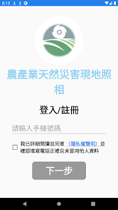
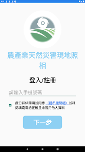
農產業天然災害現地照相
5K+
Downloads

Everyone
info


About this app
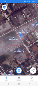
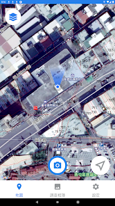
The design and operation of this APP is mainly simple and easy to use. It uses the functions of the network, camera and GPS positioning and electronic compass orientation of smart phones, and compares the cadastral records through coordinates to provide the public with the current situation of agricultural land and the use of on-site surveys.
APP customer service link: https://line.me/R/ti/p/@968rqadp
APP customer service link: https://line.me/R/ti/p/@968rqadp
Updated on
Safety starts with understanding how developers collect and share your data. Data privacy and security practices may vary based on your use, region, and age. The developer provided this information and may update it over time.


