

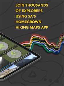
Forge: Hiking Trail Maps

10K+
Downloads

Everyone
info


About this app
All Forge trails are digitised and attributed - by our team - with pinpoint accuracy and are regularly updated with input from local conservation agencies and trail managers. With live GPS location, localised emergency contacts and calls, and the ability to download offline maps you can explore with confidence!
Navigate over 6,000 km of trails and 3,200 points of interest across South Africa packaged in simple, easy-to-use maps.
Top features our users love:
• Accurate and up-to-date trails (including 1,400 km across Table Mountain in Cape Town),
• Free offline map downloads,
• Relevant and localised emergency contacts,
• Over 50 interactive nature reserve hiking maps with useful info including permits and fees, contact details and links, parking spots, facilities and more.
Did you know? Forge is 'Made in Mzansi', plus we are the official digital maps partner of CapeNature!
All Forge maps come with helpful tools:
• Basemap toggle (including high-definition satellite imagery).
• Trail and point of interest search,
• Location finder.
Each trail segment is attributed with insightful info bites:
• Name
• Status (Terrain and Open/Closed)
• Difficulty
• Distance
• Mountain Biking (Yes/No)
• Dog Walking (Yes/No)
You can assist in trail conservation and help keep others safe. By submitting a trail issue alert, you can report issues you encounter while hiking so we can update our maps, the hiking community and conservation authorities.
What else you can expect:
• Mountain safety tips,
• Emergency contacts,
• Useful links from the outdoor community.
Visit www.forgesa.com for more info, contact us at info@forgesa.com and stay up-to-date by following us on Instagram, @forge_sa.
Find Your Path. Explore More.
Updated on
Safety starts with understanding how developers collect and share your data. Data privacy and security practices may vary based on your use, region, and age. The developer provided this information and may update it over time.

No data shared with third parties
Learn more about how developers declare sharing

No data collected
Learn more about how developers declare collection
What's new
Yellow leads the way with our fresh new look! Beyond a swanky new logo, say howzit to a user interface makeover:
More legible Trail Maps filter
New region: North West
Slicker menu item symbols
Easier access to Forge for Business
Temporary labels for SOS calls and Trail Issue Alert
We’d love to hear your feedback and suggestions! Get in touch: info@forgesa.com or leave us a review.
More legible Trail Maps filter
New region: North West
Slicker menu item symbols
Easier access to Forge for Business
Temporary labels for SOS calls and Trail Issue Alert
We’d love to hear your feedback and suggestions! Get in touch: info@forgesa.com or leave us a review.