
Arm360
50+
Downloads

Everyone
info
About this app
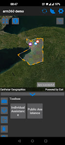
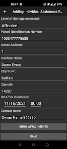
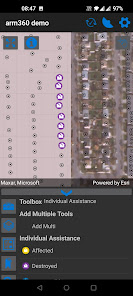
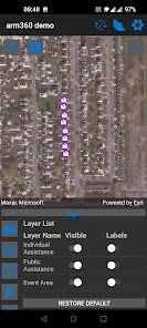
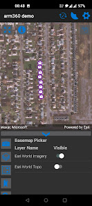
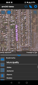
Arm360 is a GIS based data collection system.
Use maps anywhere to Assess (collect) data, Report observations and respond to events and upload your information to a shared Map (arm360).
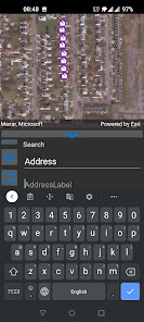
Arm360 offers offline automation of data collection, allowing the user to field verify information, such as address or asset IDs.
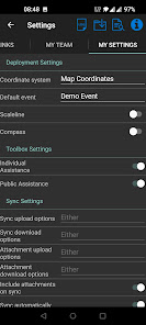
This app is based on the Esri GIS system and requires the Arm360 administrator running at your agency for full capabilities.
Use maps anywhere to Assess (collect) data, Report observations and respond to events and upload your information to a shared Map (arm360).
Arm360 offers offline automation of data collection, allowing the user to field verify information, such as address or asset IDs.
This app is based on the Esri GIS system and requires the Arm360 administrator running at your agency for full capabilities.
Updated on
Safety starts with understanding how developers collect and share your data. Data privacy and security practices may vary based on your use, region, and age. The developer provided this information and may update it over time.

No data shared with third parties
Learn more about how developers declare sharing

This app may collect these data types
Location, Personal info and 4 others

Data is encrypted in transit

Data can’t be deleted
What's new
- Added no-show forms with continuous add
- Fixed search issue
- Fixed search issue