
Everyone
info
Government
info
1K+
Downloads

Everyone
Learn more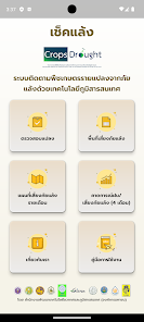

About this app
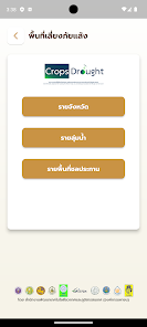
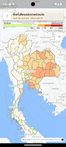
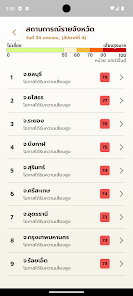
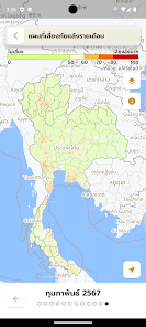
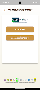
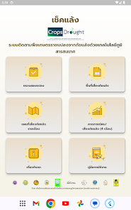
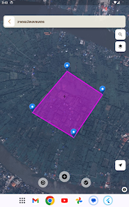
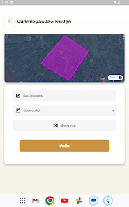
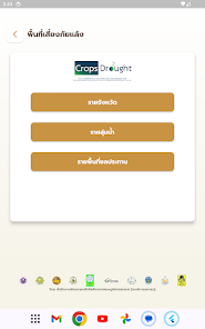
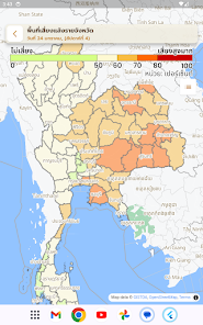
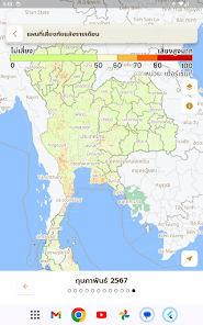
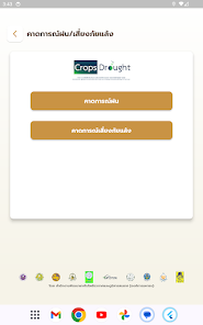
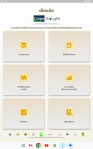
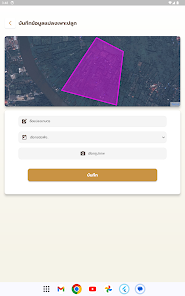
This application was developed to enable farmers to monitor drought risk in their fields for planting four important economic crops, namely rice, corn, cassava and sugarcane, from satellite and geographic information processing systems developed under the project. "Create a system to assess drought-risk areas of agricultural crop plots from models using geo-informatics technology" to support use in all areas throughout the country.
Updated on
Safety starts with understanding how developers collect and share your data. Data privacy and security practices may vary based on your use, region, and age. The developer provided this information and may update it over time.

No data shared with third parties
Learn more about how developers declare sharing

This app may collect these data types
Personal info and Photos and videos

Data isn’t encrypted

You can request that data be deleted
What’s new
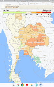
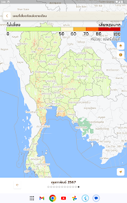
- ปรับปรุงหน้าคาดการณ์ภัยแล้ง: เปิดหน้ามาแสดงข้อมูลล่าสุดทันที และแผนที่ตรงตามเดือนที่เลือก
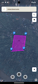
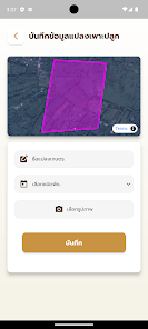
- เพิ่มแผนที่แบบไฮบริด (ภาพถ่าย+ป้ายชื่อ) ในหน้าพื้นที่เสี่ยง คาดการณ์ และรายเดือน
- แก้ปัญหาเมนูล่างถูกบังจากแถบควบคุมบนเครื่อง Samsung
- ปรับการแสดงผลบนหน้าจอเล็กให้ไม่ล้นจอ
- เปลี่ยนชื่อเมนู "น้ำ" เป็น "การใช้น้ำ" ให้สื่อความหมายชัดเจนขึ้น
- แสดง "นอกพื้นที่เกษตร" แทน "ไม่ทราบ" ในหน้าวิเคราะห์
- เพิ่มแผนที่แบบไฮบริด (ภาพถ่าย+ป้ายชื่อ) ในหน้าพื้นที่เสี่ยง คาดการณ์ และรายเดือน
- แก้ปัญหาเมนูล่างถูกบังจากแถบควบคุมบนเครื่อง Samsung
- ปรับการแสดงผลบนหน้าจอเล็กให้ไม่ล้นจอ
- เปลี่ยนชื่อเมนู "น้ำ" เป็น "การใช้น้ำ" ให้สื่อความหมายชัดเจนขึ้น
- แสดง "นอกพื้นที่เกษตร" แทน "ไม่ทราบ" ในหน้าวิเคราะห์
Everyone
Learn moreApp support
phone
Phone number
+6624444444
About the developer
Geo-Informatics and Space Technology Development Agency (Public Organization)
watchara@gistda.or.th
120, CHAENG WATTANA ROAD
THE GOVERNMENT COMPLEX, RATTHAPRASASANABHAKTI BUILDING 6TH AND 7TH FLOOR
Thungsonghong, LAK SI
กรุงเทพมหานคร 10210
Thailand
+66 85 489 4756


