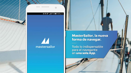
MasterSailor
10K+
Downloads

Everyone
info


About this app
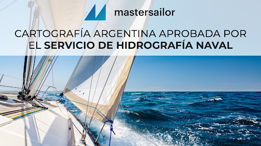
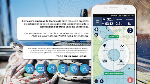
MasterSailor is the only Navigation App with Cartography approved by the Naval Hydrographic Service. With MasterSailor you will have all the technology for navigation in a single application. Up-to-date cartography, GPS, current and forecast weather, tides and depths in real time, sailing directions, communication functions for emergencies and much more...
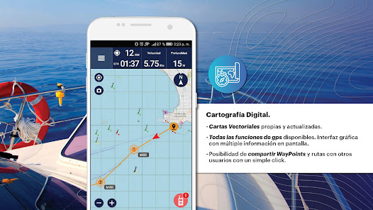
-Digital Cartography
Own, approved and updated vector charts and all GPS functions available. Graphic interface with multiple information on screen. Possibility of sharing waypoints and routes with other users with a simple click.
-Preloaded sailing directions
It includes more than 20 Sailing Directions so you can navigate from your position and to the port you want with total safety.
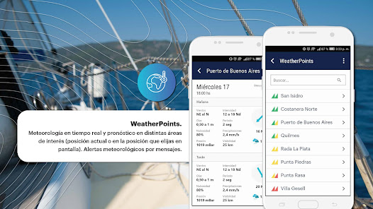
-WeatherPoints
Real-time weather and forecast in different areas of interest (current position or in the position you choose on the screen). Weather alerts by messages.
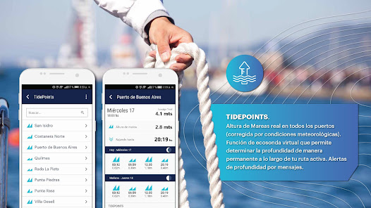
-TidePoints
Real height of tides in all ports (corrected for weather conditions). Virtual echosounder function that allows you to determine the depth permanently along your active route. Depth alerts by messages.
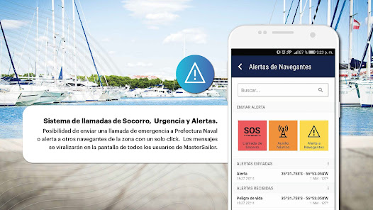
-Emergency, Urgency and Alerts call system
Possibility of sending a distress call to the Naval Prefecture or alerting other sailors in the area with a single click. The messages will go viral on the screen of all MasterSailor users.
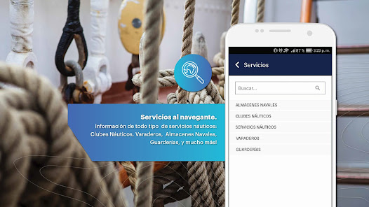
-Services to the navigator
Information on all types of Nautical Services: Nautical Clubs, Slipways, Naval Warehouses, Nurseries, and much more.
-Digital Cartography
Own, approved and updated vector charts and all GPS functions available. Graphic interface with multiple information on screen. Possibility of sharing waypoints and routes with other users with a simple click.
-Preloaded sailing directions
It includes more than 20 Sailing Directions so you can navigate from your position and to the port you want with total safety.
-WeatherPoints
Real-time weather and forecast in different areas of interest (current position or in the position you choose on the screen). Weather alerts by messages.
-TidePoints
Real height of tides in all ports (corrected for weather conditions). Virtual echosounder function that allows you to determine the depth permanently along your active route. Depth alerts by messages.
-Emergency, Urgency and Alerts call system
Possibility of sending a distress call to the Naval Prefecture or alerting other sailors in the area with a single click. The messages will go viral on the screen of all MasterSailor users.
-Services to the navigator
Information on all types of Nautical Services: Nautical Clubs, Slipways, Naval Warehouses, Nurseries, and much more.
Updated on
Safety starts with understanding how developers collect and share your data. Data privacy and security practices may vary based on your use, region, and age. The developer provided this information and may update it over time.


What’s new
- Actualizamos la aplicación constantemente para mejorar su experiencia de navegación
- Bug fixes
- Bug fixes
App support
About the developer
MASTERSAILOR S.A.
damianfranco@tunilla.com
Sarmiento 767
C1041AAO Ciudad de Buenos Aires
Argentina
+54 9 11 6982-1416