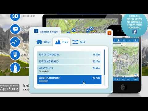

TABACCOmapp 2.0

2.4star
948 reviews

Mature 17+
info
100K+
Downloads


About this app
Dear user,
The TABACCOMapp 2 app is about to be discontinued. Along with the app, the associated community will also be discontinued; however, its data will be transferred to the community of the new Tabaccomapp 3.0 app.
With the release of the new app, it will no longer be possible to purchase products on the Apple and Google websites.
The app will be available for download from the Apple and Google stores for recovery purposes only until 31/12/2025.
From 2026, the app will be removed from the Apple and Google stores. The app will continue to function on devices until it is uninstalled, the user logs out, or operating system updates partially or fully affect its functionality.
As a registered user, you should have received an email inviting you to try the new Tabaccomapp 3.0 app for free. You will subsequently receive a personalised subscription offer for use of the new app.
In case you missed any of this, we kindly ask you to check the email sent to you from support@tabaccoeditrice.com, or visit the Apple or Google Play stores to check out the new features of Tabaccomapp 3.0.
Thank you for your time. We look forward to welcoming you to the new Tabaccomapp 3.0 community.
For issues and requests: support@tabaccoeditrice.com
Updated on
Safety starts with understanding how developers collect and share your data. Data privacy and security practices may vary based on your use, region, and age. The developer provided this information and may update it over time.

No data shared with third parties
Learn more about how developers declare sharing

No data collected
Learn more about how developers declare collection

Data is encrypted in transit

You can request that data be deleted
Ratings and reviews
883 reviews

Liam Given
- Flag inappropriate
August 31, 2020
The numbering on the 1:25:000 part of the app shows multiple map numbers but these bear no correlation to the numbering on the printed tabacco maps that you can buy. For example, i searched for an hour for 031 (Pragser Domiten - Enneberg - Dolomiti di Braies - Marebbe) and it is impossible to find Lago di Braies or to know what numbers to use. I even used Google Maps to search for nearby locations but this was no use. Stick to the printed maps and a compass.
3 people found this review helpful

Diogene Alessandro Dei Tos
- Flag inappropriate
- Show review history
June 29, 2024
Last edit: Purchases still cannot be shared among devices nor platforms. This is ridiculous and frustrating. This should be a fairly straightforward update from the developers. Past review: Where are my purchases?? I used the app for many years in an apple device and it was awesome. I moved now to an Android device and I cannot restore my purchases. Can somebody help?? I have tens of maps that i cannot use anymore.

Michael
- Flag inappropriate
- Show review history
September 24, 2020
Used on a recent walking holiday in the Dolomites. The app worked fine, I could buy the maps I needed and I had no issues with tracking my position. The tracks could also be exported as gpx files. However the user interface is a bit basic compared to some other mapping apps.
What’s new
Fixed GPS malfunction at startup
App support
About the developer
CASA EDITRICE TABACCO SRL
support@tabaccoeditrice.com
VIA ENRICO FERMI 78
33010 TAVAGNACCO
Italy
+39 339 358 4508