
We Map


Everyone
info
10+
Downloads


About this app
WeMap empowers explorers, geologists, surveyors, and outdoor professionals with powerful mapping and field tools — all in one app.
Key Features
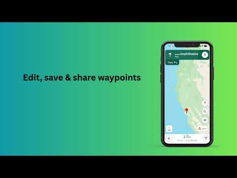
• Waypoints & Polylines Edit, save, and share individual or collective waypoints and polylines with ease.
• Multiple Map Formats Switch between satellite, terrain, and other map views to suit your exploration needs.
• KML/KMZ Compatibility Import, edit, and share KML/KMZ files seamlessly. Fully compatible with Google Earth and other mapping software.
• Geology Toolkit No need for a physical compass or Brunton! Measure strike and dip of formations/outcrops directly in the app, with precise location, altitude, and exportable CSV records.
• Waypoint Management Waypoints auto‑segregate into lists. View distance and bearing between points, drag to reorder, search by name/coordinates, and access detailed cards to zoom, share, or delete.
• Geotagged Photos Capture professional geotagged photos with date/time/location metadata. Each photo includes an innovative QR code linking directly to its location in Apple Maps. Android Enhancements: Enable/disable minimap, toggle QR code, and adjust panel opacity for a cleaner photo UI.
Feedback Integration Share your feedback directly from the app to help us improve WeMap services.
Key Features
• Waypoints & Polylines Edit, save, and share individual or collective waypoints and polylines with ease.
• Multiple Map Formats Switch between satellite, terrain, and other map views to suit your exploration needs.
• KML/KMZ Compatibility Import, edit, and share KML/KMZ files seamlessly. Fully compatible with Google Earth and other mapping software.
• Geology Toolkit No need for a physical compass or Brunton! Measure strike and dip of formations/outcrops directly in the app, with precise location, altitude, and exportable CSV records.
• Waypoint Management Waypoints auto‑segregate into lists. View distance and bearing between points, drag to reorder, search by name/coordinates, and access detailed cards to zoom, share, or delete.
• Geotagged Photos Capture professional geotagged photos with date/time/location metadata. Each photo includes an innovative QR code linking directly to its location in Apple Maps. Android Enhancements: Enable/disable minimap, toggle QR code, and adjust panel opacity for a cleaner photo UI.
Feedback Integration Share your feedback directly from the app to help us improve WeMap services.
Seamlessly record waypoints, capture geotagged photos, and measure geology data.
Updated on
Safety starts with understanding how developers collect and share your data. Data privacy and security practices may vary based on your use, region, and age. The developer provided this information and may update it over time.
- No data shared with third partiesLearn more about how developers declare sharing
- No data collectedLearn more about how developers declare collection
- Data isn’t encrypted
- You can request that data be deleted


What’s new
Field Diary & PDF Reporting: Rebranded "Waypoints List" to "Field Diary" with new multi-selection tools and professional PDF Report Export (including photos, notes, and coordinates).
•
Professional GPS Dashboard: Real-time satellite orbit animation for GPS fixes and high-fidelity coordinate formatting with N/S/E/W direction suffixes.
•
Multi-Photo Camera: Capture multiple geotagged photos in a single session with an optimized, industry-standard interface.
•
Professional GPS Dashboard: Real-time satellite orbit animation for GPS fixes and high-fidelity coordinate formatting with N/S/E/W direction suffixes.
•
Multi-Photo Camera: Capture multiple geotagged photos in a single session with an optimized, industry-standard interface.
App support
phone
Phone number
+919665050162
About the developer
SWAPNIL PAL
we.explore@zohomail.in
India


