Overland Track
500+
Downloads

Everyone
info


About this app
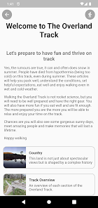
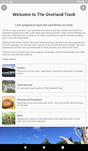
This app is here to help you plan, prepare and navigate the Overland Track in Tasmania, Australia.
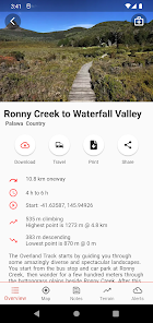
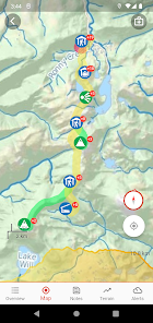
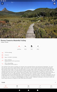
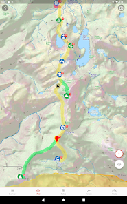
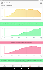
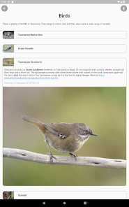
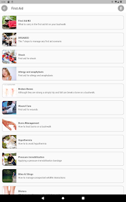
You will find detailed packing lists, information on each day of walking, itineraries, yummy recipes, a guide to flora, fauna, geology, travel planning, first aid and much much more. There is also a navigation section with topographic maps that will work offline, photos, terrain profiles, track notes and weather forecasts.
Think of this as the ultimate guide book for the Overland Track, a happy marriage between a GPS and a bushwalking guidebook.
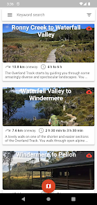
Each section of the walk has an overview and a moving map (download the map tiles for offline use before hitting the track).
Information on equipment and bushwalking skills are also generalised for other parts of Australia to help you build your bushwalking skills before getting on track.
Whether you're new to bushwalking, hiking or tramping or a seasoned walker - I have made this app to help you get the most out of your time on track.
You will find detailed packing lists, information on each day of walking, itineraries, yummy recipes, a guide to flora, fauna, geology, travel planning, first aid and much much more. There is also a navigation section with topographic maps that will work offline, photos, terrain profiles, track notes and weather forecasts.
Think of this as the ultimate guide book for the Overland Track, a happy marriage between a GPS and a bushwalking guidebook.
Each section of the walk has an overview and a moving map (download the map tiles for offline use before hitting the track).
Information on equipment and bushwalking skills are also generalised for other parts of Australia to help you build your bushwalking skills before getting on track.
Whether you're new to bushwalking, hiking or tramping or a seasoned walker - I have made this app to help you get the most out of your time on track.
Updated on
Safety starts with understanding how developers collect and share your data. Data privacy and security practices may vary based on your use, region and age The developer provided this information and may update it over time.

No data shared with third parties
Learn more about how developers declare sharing

No data collected
Learn more about how developers declare collection
What's new
minor bug fixes