
NZ Offline Topo Map - North


Everyone
info
10+
Downloads

Everyone
Learn more


About this app
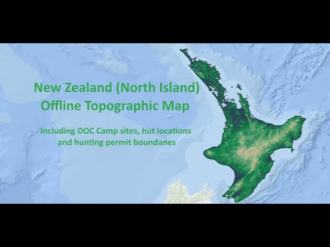
Explore New Zealand's North Island with confidence — no internet connection required. Whether you're hiking, hunting, or spending time on the land and water, this app puts a detailed offline topographic map right in your pocket, ready to use wherever you are.
Explore the map
Topographic detail across the full North Island
Camp sites, hut locations and hunting permit boundaries
Tap anywhere to get precise coordinates
My Location button to instantly see where you are
Record and manage your GPS tracks
Record your journey as you go
Save, view and manage all your tracks
Import and export GPX files to share with others or use in other apps
"I've been here" postcard
Create a personalised postcard with your location on the NZ map
Export and share as a PNG
Designed for simplicity so anyone can pick it up and use it straight away — no technical knowledge needed. An essential companion for navigating, exploring and caring for the whenua, moana and arawai of Aotearoa.
Updated on
Safety starts with understanding how developers collect and share your data. Data privacy and security practices may vary based on your use, region, and age. The developer provided this information and may update it over time.

No data shared with third parties
Learn more about how developers declare sharing

No data collected
Learn more about how developers declare collection
What’s new
Minor update
Everyone
Learn moreApp support
About the developer
Di Zhou
icecube@outlook.co.nz
1A Bernleigh Terrace
West Harbour
Auckland 0618
New Zealand


