
Sistema de Transporte CDMX Pro

500+
Downloads

Everyone
info


About this app
Attention! UNOFFICIAL application of the Government of Mexico City
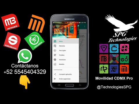
It is a simple application that allows you to open the maps of the public transportation network without having to have an Internet connection and show you all the lines of the transportation system of Mexico City; such as the Metro, Metrobús, Light Train, Trolleybús, among others.
➤More Features:
➟Now includes:
➣Metro Map
➣Metrobús Map
➣Light Rail Map
➣Trolleybus Map
➣Suburban Map
➣Mexibús Map
➟Works without the need for an Internet connection
➟Map updated to the year 2024
➟Integrated zoom
➟Easy way to give your suggestions via WhatsApp
➟Compatible with Android +4.4 devices
➟Constant updates
➟Instant incident correction
Updated on
Safety starts with understanding how developers collect and share your data. Data privacy and security practices may vary based on your use, region, and age. The developer provided this information and may update it over time.

No data shared with third parties
Learn more about how developers declare sharing

No data collected
Learn more about how developers declare collection

Data is encrypted in transit

You can request that data be deleted
What's new
➟Mapas de Movilidad integrada, Metrobús y Trolebús actualizados 2023
➟Cuenta con el mapa de Mexicable
➤Más Características:
➟Ahora incluye el mapa de la LÍNEA 2 del Cablebús
Disfrútalo!!!
➟Cuenta con el mapa de Mexicable
➤Más Características:
➟Ahora incluye el mapa de la LÍNEA 2 del Cablebús
Disfrútalo!!!
App support
phone
Phone number
+525545404329


