MapRisk
4.7star
19 reviews
1K+
Downloads

Everyone
info
About this app
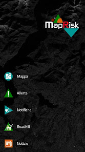
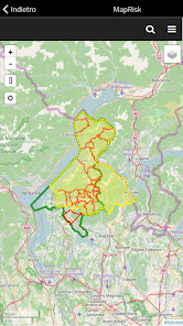
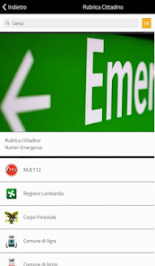
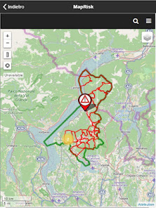
MapRisk (Map Risk) is the complete app dedicated to the participating civil protection structures. The app is aimed at disseminating Civil Protection Plans and supporting the Operating Structures in the management of Civil Protection services. The heart of MapRisk is represented by the WebMaps that allow an immediate reading of the spatial information useful for emergency management.
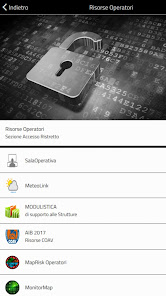
MapRisk has a restricted access section dedicated to operators through which it is possible to insert modules, documents, tools and reserved calendars, operating procedures and dedicated sections.
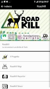
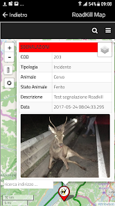
The App has been enriched with the RoadKill section, to allow the user to report the sighting or accidents involving wild animals along the community road network.
MapRisk has a restricted access section dedicated to operators through which it is possible to insert modules, documents, tools and reserved calendars, operating procedures and dedicated sections.
The App has been enriched with the RoadKill section, to allow the user to report the sighting or accidents involving wild animals along the community road network.
Updated on
Safety starts with understanding how developers collect and share your data. Data privacy and security practices may vary based on your use, region and age The developer provided this information and may update it over time.


Ratings and reviews
4.7
19 reviews
What's new
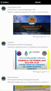
Aggiornamenti di Sistema