
Cemetery Surveyor
100+
Preuzimanja

Svako
info

O aplikaciji
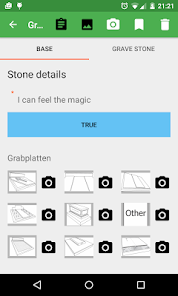
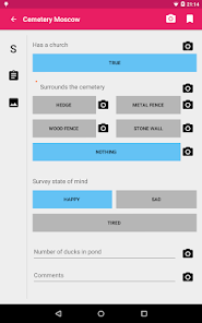
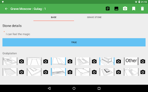
Cemetery Surveyor is designed to be part of a survey workflow consisting of:
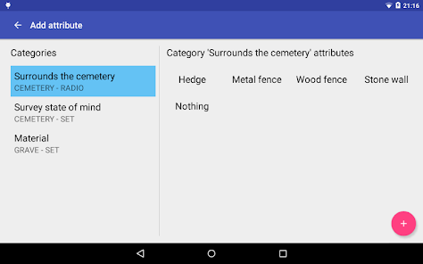
- the creation of an ontology,
- the designing of a survey consisting of categories and attributes defined in a JSON template,
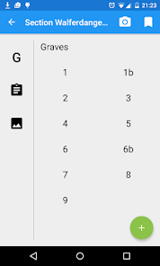
- the designating of cemetery, cemetery sections and graves in a GIS with unique identifiers,
- the actual surveying of the cemetery using the application,
- the exporting of gathered data back into a GIS or statistical analysis program.
The application will not operate without the required JSON survey framework component. You must read the documentation to set this up. The documentation is located on GitHub, as well as the source code.
This application was funded by the Luxembourg National Research Fund.
- the creation of an ontology,
- the designing of a survey consisting of categories and attributes defined in a JSON template,
- the designating of cemetery, cemetery sections and graves in a GIS with unique identifiers,
- the actual surveying of the cemetery using the application,
- the exporting of gathered data back into a GIS or statistical analysis program.
The application will not operate without the required JSON survey framework component. You must read the documentation to set this up. The documentation is located on GitHub, as well as the source code.
This application was funded by the Luxembourg National Research Fund.
Ažurirano dana
Sigurnost podataka
Programeri mogu ovdje prikazati informacije kako njihova aplikacija prikuplja i koristi vaše podatke. Saznajte više o sigurnosti podataka

Nema dostupnih informacija
Šta ima novo
- Added help link to documentation.
- Updated code to Android 9
- Fixed bug preventing viewing of survey thumbnails
- Updated code to Android 9
- Fixed bug preventing viewing of survey thumbnails