
SMART Mobile for Conservation
10K+
Downloads

Everyone
info
About this app
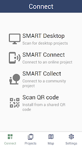
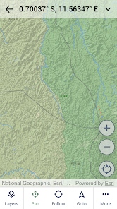
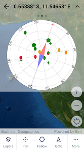
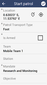
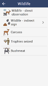
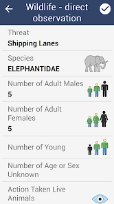
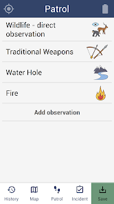
SMART (Spatial Monitoring and Reporting Tool) is designed to capture data in conservation protected areas. It includes full support for online and offline usage, including offline field maps.
To use this app, you must be a user of one or more of SMART.
SMART Mobile captures GPS location and also requires background location usage for tracks. More information can be found at https://cybertrackerwiki.org/privacy-policy.
To use this app, you must be a user of one or more of SMART.
SMART Mobile captures GPS location and also requires background location usage for tracks. More information can be found at https://cybertrackerwiki.org/privacy-policy.
Updated on
Safety starts with understanding how developers collect and share your data. Data privacy and security practices may vary based on your use, region, and age. The developer provided this information and may update it over time.

No data shared with third parties
Learn more about how developers declare sharing

This app may collect these data types
Location, Photos and videos and 2 others

Data is encrypted in transit

Data can’t be deleted

