
Precision Gateway
1K+
Downloads

Everyone
info
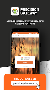
About this app
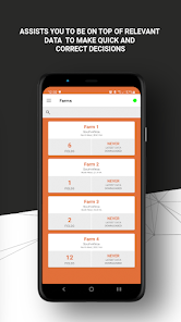
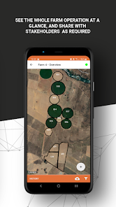
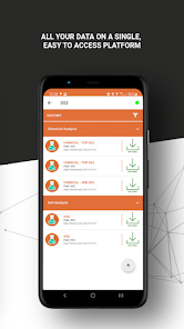
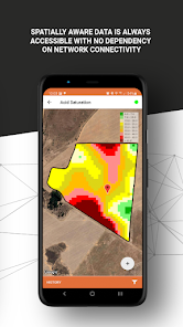
Precision Gateway Mapping is the mobile version for managing spatial data within the SGS Precision Gateway platform. The mapping app gives you access to all the geospatial data gathered on the farm, including:
• Soil physical maps
• Soil chemical maps
• Yield maps
• VRT maps
• Satellite imagery
• Nutrient Index maps
Interaction with the data is made possible by using your devices’ GPS coordinates, enabling a new dimension of working with the data.
Registration on the app is required in order for us to provide a username and password. Once the registration is received, our operators will be in contact to further assist.
Updated on
Safety starts with understanding how developers collect and share your data. Data privacy and security practices may vary based on your use, region, and age. The developer provided this information and may update it over time.

No data shared with third parties
Learn more about how developers declare sharing

This app may collect these data types
Location, Personal info and 4 others

Data is encrypted in transit

You can request that data be deleted
What’s new
- Pin crop growth stage improvement
App support
About the developer
IDEAL IT DEVELOPMENT SOLUTIONS (PTY) LTD
jj@idealsolution.co.za
3 KWIKKIE ST HEUWELSIG
POTCHEFSTROOM
2531
South Africa
+27 82 929 8794


