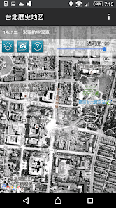
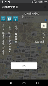
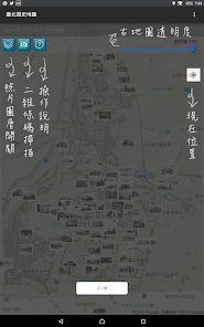
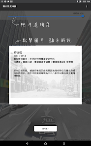
Taipei Historical Maps combines maps and photographs recorded between 1895 and 1974, and integrates them into present-day Taipei using Google Maps and Street View. Equipped with geographical location referencing, the app allows users to transcend history to see how Taipei has changed over time with the help of maps and photographs.
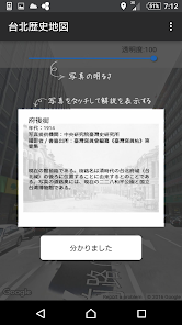
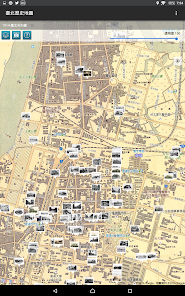
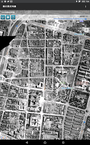
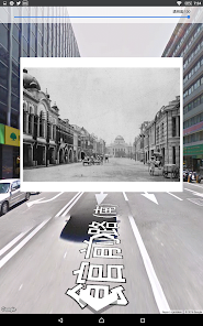
The Center for Geographic Information Systems (GIS) of the Research Center for Humanities and Social Sciences (RCHSS), Academia Sinica, has provided ten different street maps of Taipei dating from various time periods. All of the maps depict a general view of the area inside the city wall, Mengjia (Bangka) (present-day Wanhua District), and Dadaocheng. Other contributions include 131 old photographs from the collections of the Institute of Taiwan History at Academia Sinica, the National Diet Library of Japan, and Sunnygate Phototimes.
Disclaimer: 1. The maps provided are for reference purposes only; geographical accuracy is not guaranteed. The GIS is not responsible for any liabilities incurred by the use of this app. 2. The Google Maps and Street View functions may require an internet connection.
Updated on
Aug 24, 2023
Travel & Local
Data safety
arrow_forward
Safety starts with understanding how developers collect and share your data. Data privacy and security practices may vary based on your use, region, and age. The developer provided this information and may update it over time.