Ethel Ready
10K+
Downloads

Everyone
info
About this app
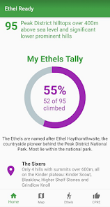
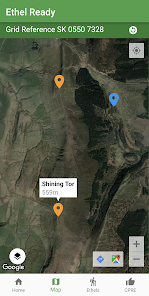
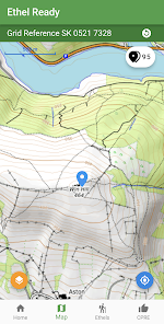
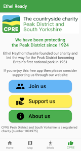
Are your ready for the challenge of climbing all of the Peak District's Ethels? Named after Ethel Haythornthwaite (the pioneer behind the Peak District National Park), the Ethels are all of the Peak District hills over 400m above sea level and significant lower prominent hills. Fewer, lower, easier and (for most of the UK's population) closer than the Munros of Scotland and the Wainwrights of the Lake District.
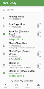
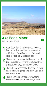
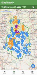
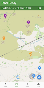
Explore the highest hills of the Peak District. Track your progress through your own dated log and by using the interactive map from OpenStreetMap.
Featured on BBC TV and Radio 4
© Doug Colton. The Ethels and the Ethel Ready app are the original work of Doug Colton.
Base map and data from OpenStreetMap and OpenStreetMap Foundation
© OpenStreetMap contributors.
All images are subject to copyright © 2022 Doug Colton (or are used through Creative Commons Licence).
Updated on
Safety starts with understanding how developers collect and share your data. Data privacy and security practices may vary based on your use, region and age The developer provided this information and may update it over time.

No data shared with third parties
Learn more about how developers declare sharing

No data collected
Learn more about how developers declare collection
What's new
Updated details for Sponds Hill


