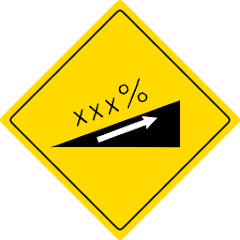
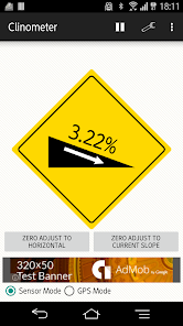
I measure an incline and display it like the signboard which there is a sharp slope in.
[characteristic] ・The drawing card indication that it is easy to watch ・It is operation-free and is easy ・Change of a sensor mode and the GPS mode ・Change of percentage notation and the frequency notation
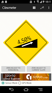
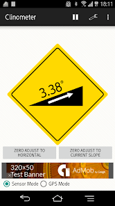
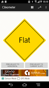
[sensor mode] ・I calculate an incline from the angle of the terminal using the accelerometer of the terminal, a geomagnetism meter. ・It is more correct than GPS. ・Because 0 points of adjustment is possible, the relative incline is demanded. * Because I use an accelerometer, the measurement becomes incorrect at the time of acceleration, slowdown with the moving bodies such as a car or the train.
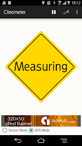
[GPS mode] ・I calculate an incline from a high change using the GPS receiver of the terminal. ・Because I do not depend on the angle of the terminal, it is not necessary to mind way of holding. * The precision of the altimeter of the GPS is not so generally good. Therefore I cannot guarantee the accurate result. Please spend it for reference degree.
Updated on
Oct 28, 2015
Tools
Data safety
arrow_forward
Safety starts with understanding how developers collect and share your data. Data privacy and security practices may vary based on your use, region, and age. The developer provided this information and may update it over time.