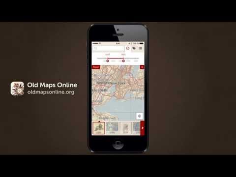
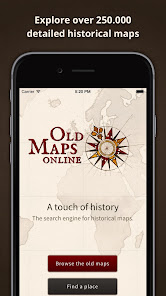
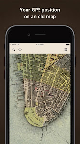
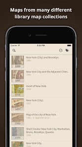
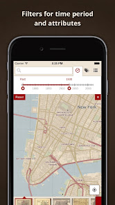
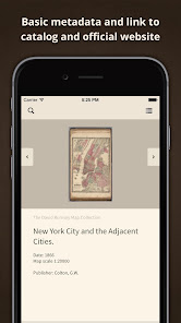
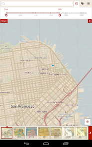
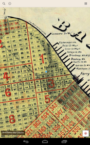
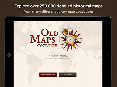
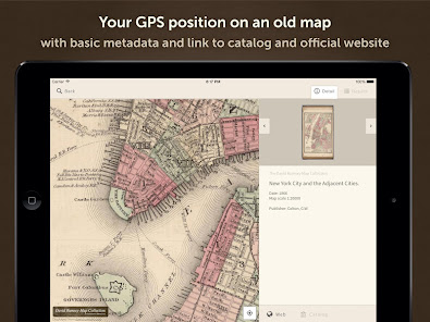
Old Maps shows over 250,000 high-resolution historical ancient maps from 15th to 20th century from all over the world. Use the app to see your own GPS position on the vintage maps, or just browse one by one from your couch. You can set up filters just as year from/to, scale, title or author.
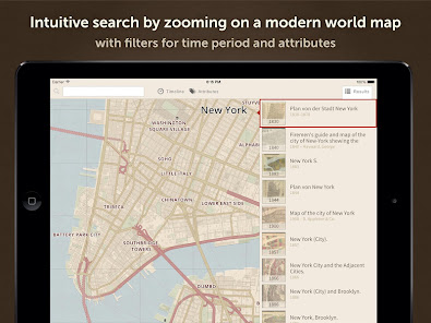
Features: Search any location in the world by name, or simply zoom and pan, to get the most accurate old maps instantly. Scroll the bar with results and visit those you like. All featured maps are location-based and the app can display the relevant maps according to the place where you appear, no matter if it is New York, Los Angeles, London, Paris, Berlin, Tokio, Rome, San Francisco or any other city in the world. Download the Old Maps app now and enjoy a touch of history in your hand!
About: The project OldMapsOnline began in 2012 and indexes over half a million of ancient, antique, vintage and old historic world maps from prominent archives and libraries (British Library, National Library of Scotland, David Rumsey…). For more information, visit the website www.oldmapsonline.org
Updated on
May 11, 2018
Education
Data safety
Developers can show information here about how their app collects and uses your data. Learn more about data safety
No information available
'> -->
Not Found
We're sorry, the requested URL was not found on this server.