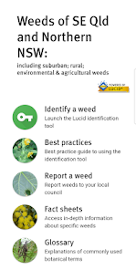
Weeds of South-East Queensland and Northern NSW is an identification and information tool covering suburban, rural, environmental and agricultural weeds. It is an invaluable resource used by gardeners, Landcare and Bushcare volunteers, weed control officers, ecologists, agronomists, researchers, students, and others interested in learning more about the weeds found in South-East Queensland and Northern New South Wales.
The original Lucid identification key was released on CD-ROM over 12 years ago. The latest version using the Lucid Mobile platform now includes:
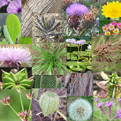
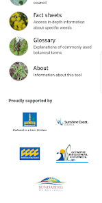
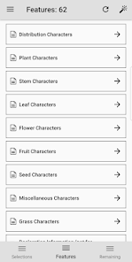
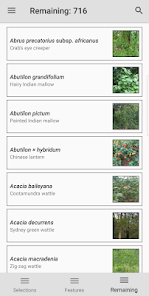
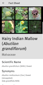
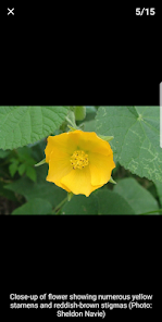
* An identification key to over 700 weed species found in South-Eastern Queensland and Northern New South Wales. * A best practices guide to identifying weed species using the key * Fact sheets with in-depth descriptions of specific weeds * Over 8,000 colour photographs of weeds and diagnostic features * Information about plants suitable for replacing weeds * Details of Prohibited and Restricted weeds in Queensland * Glossary of commonly used botanical terms * Report invasive weeds to your local council - coming soon!
We thank the following Queensland councils for their support of the development of this app, updating the content, and helping make the app freely available:
Brisbane City Council Sunshine Coast Council City of Gold Coast Council Bundaberg Regional Council
The latest version of the app has a much reduced storage footprint, images used in the identification tool are downloaded as required, with the option to download images to your device for use offline or when using the app with poor network connectivity.
Updated on
Jun 17, 2018
Books & Reference
Data safety
arrow_forward
Safety starts with understanding how developers collect and share your data. Data privacy and security practices may vary based on your use, region, and age. The developer provided this information and may update it over time.