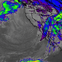
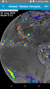
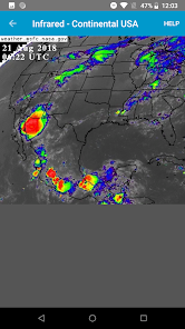
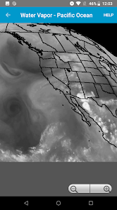
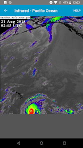
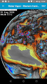
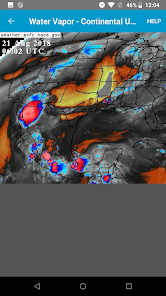
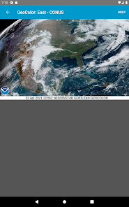
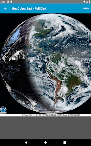
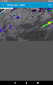
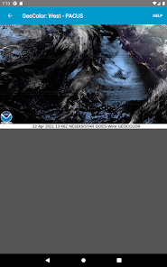
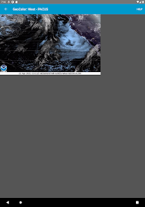
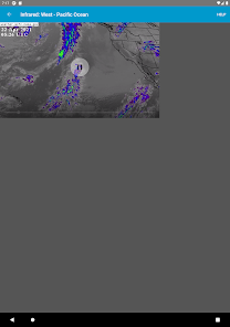
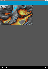
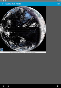
View recent infrared, visible, and water vapor loops from the NASA Geostationary Operational Environmental (GOES) satellite.
This app is good for seeing fronts, tropical storms, and hurricanes well before they arrive.
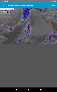
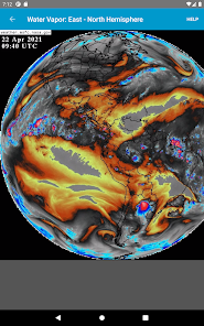
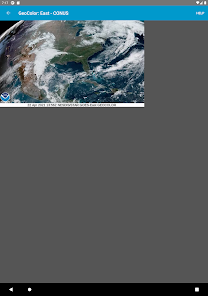
New data frames usually come once every 10 to 15 minutes and are added to the end of the loops automatically. Image timestamps are displayed in UTC.
This app is not affiliated with NASA or any government agency.
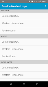
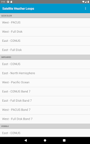
Available geographic views:
GeoColor: West - PACUS West - Full Disk East - CONUS East - Full Disk
Infrared: East- CONUS East - North Hemisphere West - Pacific Ocean East - CONUS Band 7 East - Full Disk Band 7 West - PACUS Band 7 West - Full Disk Band 7
Visible: East- CONUS East - North Hemisphere West - Pacific Ocean
Water Vapor: East- CONUS East - North Hemisphere West - Pacific Ocean
Updated on
Apr 6, 2022
Weather
Data safety
arrow_forward
Safety starts with understanding how developers collect and share your data. Data privacy and security practices may vary based on your use, region, and age. The developer provided this information and may update it over time.