SeaMap
Contains ads
3.2star
1.1K reviews
100K+
Downloads

Everyone
info


About this app
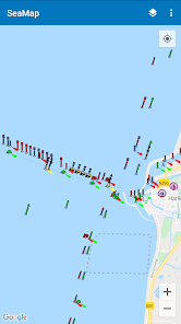
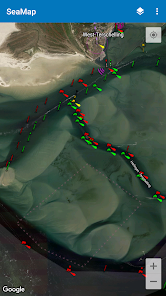
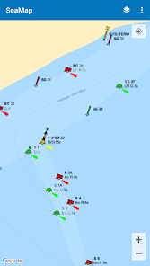
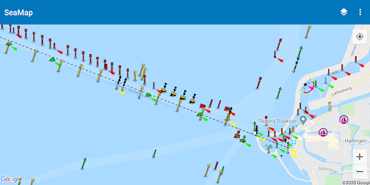
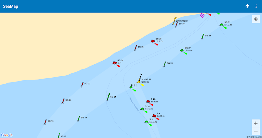
SeaMap shows nautical information on a map. This is useful when you go out sailing with your boat. It includes beacons, buoys, SIGNI, IALA-A and other navigation aids.
The information is obtained from OpenSeaMap which is part of the OpenStreetMap project. It mainly covers parts in Europe, like the Baltic Sea and the North Sea. But more regions are covered like for example areas in Australia.
The information is obtained from OpenSeaMap which is part of the OpenStreetMap project. It mainly covers parts in Europe, like the Baltic Sea and the North Sea. But more regions are covered like for example areas in Australia.
Updated on
Safety starts with understanding how developers collect and share your data. Data privacy and security practices may vary based on your use, region, and age. The developer provided this information and may update it over time.

No data shared with third parties
Learn more about how developers declare sharing

No data collected
Learn more about how developers declare collection