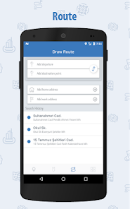
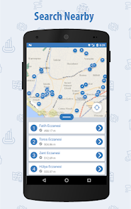
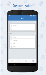
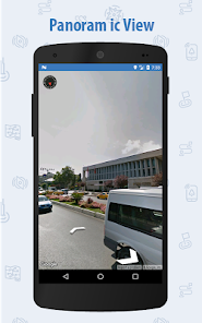
You can use the application for public transportation analysis together with base maps, searching for important places and displaying various layers such as assembly areas, IBB wc points. This app includes many categories. For instance pharmacy, sports facilities, social facilities, etc. Also, you can get information and view panoramic about the location that you press long.
Updated on
Oct 28, 2021
Maps & Navigation
Data safety
Developers can show information here about how their app collects and uses your data. Learn more about data safety
No information available
'> -->
Not Found
We're sorry, the requested URL was not found on this server.