
Google Earth
4.2star
2.96M reviews
500M+
Downloads

Everyone
info


About this app
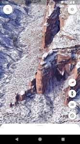
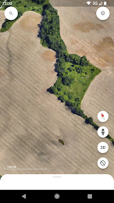
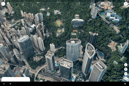
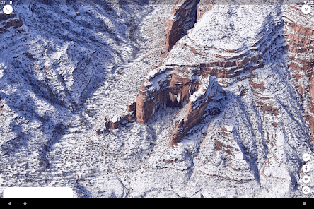
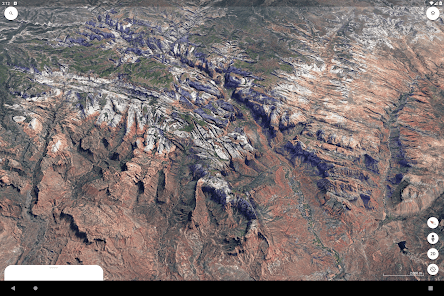
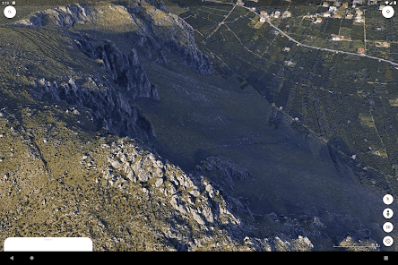
Create and collaborate on immersive, data-driven maps from anywhere, with the new Google Earth. See the world from above with high-resolution satellite imagery, explore 3D terrain and buildings in hundreds of cities, and dive in to streets and neighbourhoods with Street View's 360° perspectives.
Updated on
Safety starts with understanding how developers collect and share your data. Data privacy and security practices may vary based on your use, region and age The developer provided this information and may update it over time.

No data shared with third parties
Learn more about how developers declare sharing

This app may collect these data types
Location, Personal info and 6 others

Data is encrypted in transit

You can request that data be deleted

Independent security review
Ratings and reviews
4.2
2.7M reviews

jillian southern
- Flag inappropriate
6 June 2024
For some reason the only option for viewing previous year maps is through time-lapse now. Which means you have to sit and wait for it to flip through every year and you have to try and pause on the year you want but that's all you can do. I remember a long time ago you use to be able to select the year you want to veiw and you could explore around on that year but now the only option is time-lapse and it's annoying.
231 people found this review helpful

Ann Darby Hutchinson
- Flag inappropriate
11 June 2024
I enjoy cruising around the world with Google Earth! I also enjoy the photo galleries attached to many places that I visit virtually. I would like the photos and data for out of the way places to be updated, like my beloved former home which now has the wrong address attached to it! The aerial photos are very old and do not show all the renovations.
47 people found this review helpful

Lorraine Balun
- Flag inappropriate
28 June 2024
STILL horrible!! Can't do a simple measurement of with multiple points between 2 destinations without it assuming what you want and doing it (and being wrong!) Wants to force 'Save to a project' too! Used to be a great tool now it's extremely cumbersome trying to do a simple measure. They should put the old version back out as a choice but guessing they don't want to support it.
1,169 people found this review helpful
What's new
Thanks for using Google Earth! This release brings a fresh new look, with new features to help you collaborate with others across devices, create maps on the go, and add photos from your camera to your maps.


